
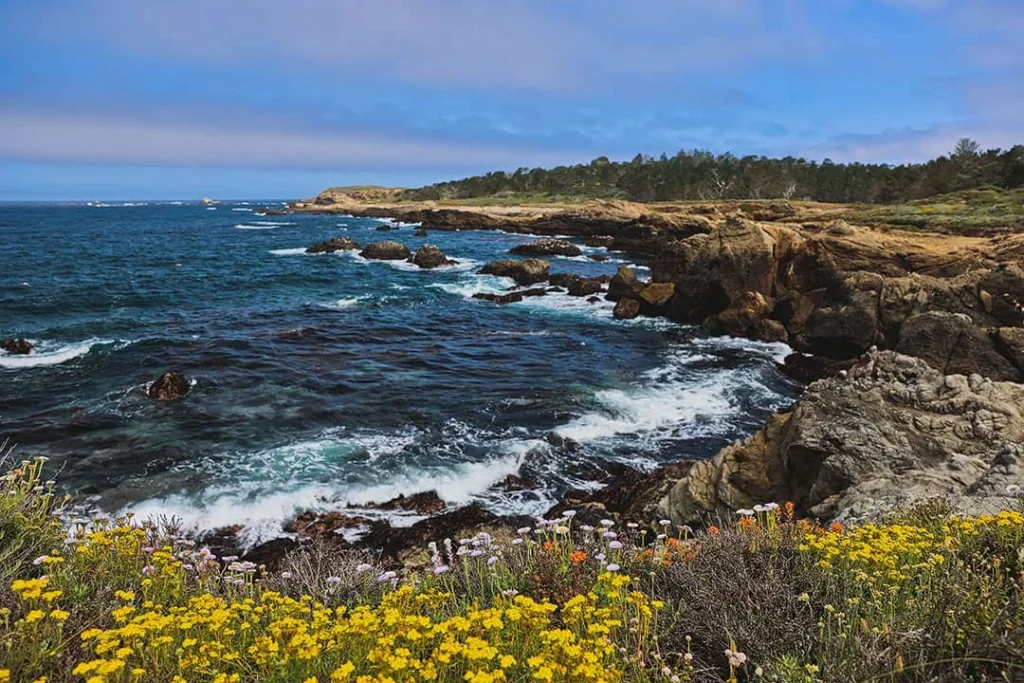
There’s a moment on the drive from San Francisco to Los Angeles when the coast opens up and the whole day seems to slow down. I’ve crossed that stretch a dozen times, and every single time I think: I should have stopped sooner.
This isn’t a race between two cities. It’s the longest, most interesting road trip in California, and the route you pick changes the entire shape of your day. I’ve taken I-5 when I needed to be somewhere, and I’ve taken the slow way when I didn’t. Here’s how I think about it now — three routes, with the mile markers and stops I’d actually recommend.
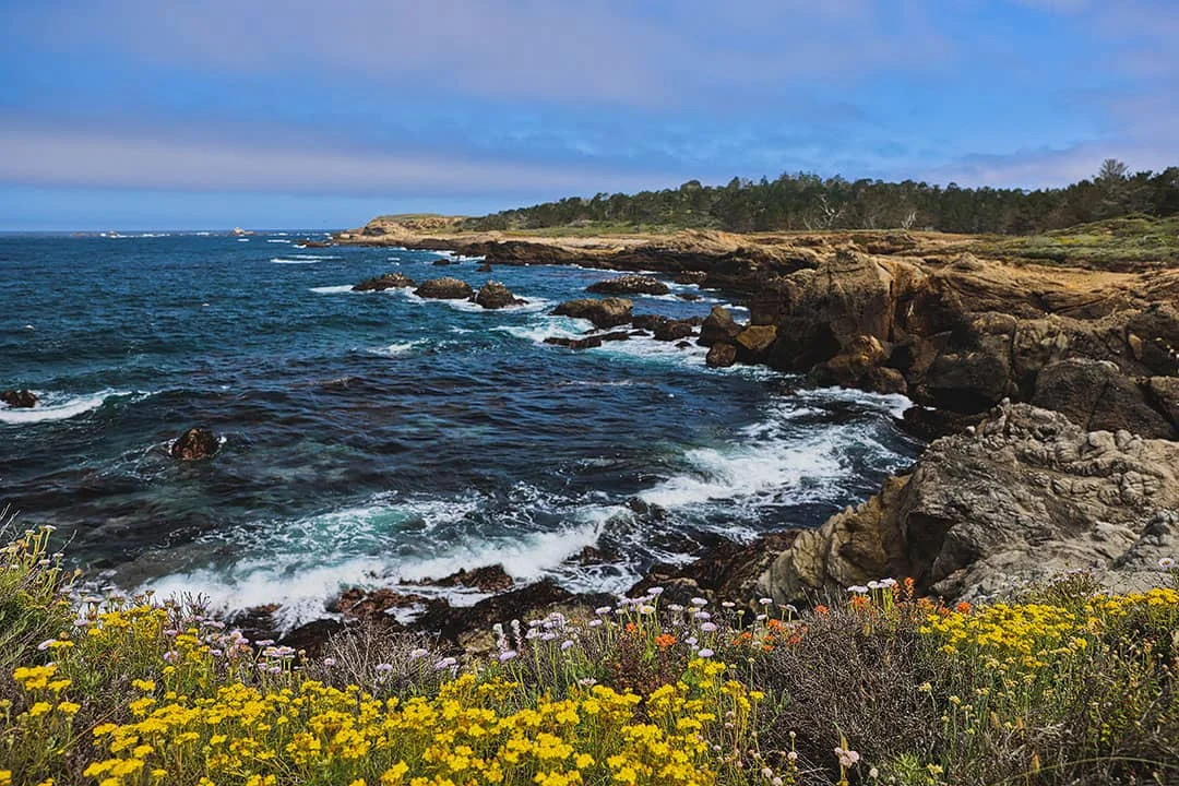
Highway 1 — the coast, in its full length
This is the most scenic route, and also the windiest and the one that eats the most time. If you’re driving it, do it southbound — you stay closer to the ocean views, and the pull-outs are easier to use.
Mile 0 — San Francisco. Start early if you can.
Mile 120 — Monterey / Carmel by the Sea. The tide pools, the cypress-lined drive, the smell of salt. It’s the first place most people pull over without meaning to.
Mile 148 — Big Sur. One of my favorite places in the US, and one of the most crowded now. If it’s your first time, go anyway — it’s a must. If you’ve had your Big Sur fix, I’d swap this for a proper morning in Monterey and Carmel-by-the-Sea, then head back to 101 for the rest of the drive.
Mile 255 — San Luis Obispo / Paso Robles. A good, unglamorous stop that keeps the day on schedule.
Mile 368 — Santa Barbara. Sunset at Stearns Wharf. This is the kind of stop that makes you grateful you took the slow route.
Mile 468 — Los Angeles / Pasadena.
One honest warning: check for closures before you leave. Big Sur regularly has landslides and mudslides after rain, one-lane traffic controls, and bridge repair delays. I’ve almost missed a flight because of a marathon race closing the road — that’s how fragile this stretch can be. Download offline maps for the no-signal stretches, and don’t fight the fog. Marine layer on a summer morning is the rule, not the exception; it often burns off by midday, and spring and fall on the coast are when the sky actually clears. March through May is the sweet spot.
Highway 101 — vineyards, windmills, and the inland coast
101 runs more inland. You trade the dramatic coastline for vineyards, rolling hills, and enough coastal glimpses to keep it interesting. It’s my route of choice when I want to drive with a book in my lap instead of one hand on the wheel.
Mile 0 — San Francisco. If you’re leaving the Bay early, Oakland is worth an hour or two before you go. Rockridge, a hike in Sibley Volcanic Regional Preserve, a bookstore that also serves drinks. It’s an easy, low-stakes start.
Mile 231 — San Luis Obispo / Paso Robles.
Mile 263 — Santa Maria. This is where the day gets good. Santa Maria Valley is quiet and genuinely charming — the kind of place you stay one night longer than planned.
Worth doing: a horseback winery tour with a mezze picnic at Presqu’ile Winery, or the tasting rooms in Old Town Orcutt.
Worth eating: the chef’s mezze at Presqu’ile — my favorite meal of the whole trip, and worth planning a reservation around, because it’s extremely popular. The Hitching Post is famous for its BBQ steak; the ribeye and scallops were both good, and it was packed. Note that there was no cell service for us, so download your offline maps before you get here. Cups & Crumbs is the right stop for baked goods and coffee — breakfast bagel, avocado toast, a latte over a cortado. There’s a big patio out back, and it’s the kind of place you linger in without meaning to.
Worth staying: Wine Stone Inn. It has the feeling of a proper B&B, with a tasting room downstairs. During our stay they had wine bingo in the evening and a food truck outside. Small details, but the kind that make a night feel lived-in rather than transacted.
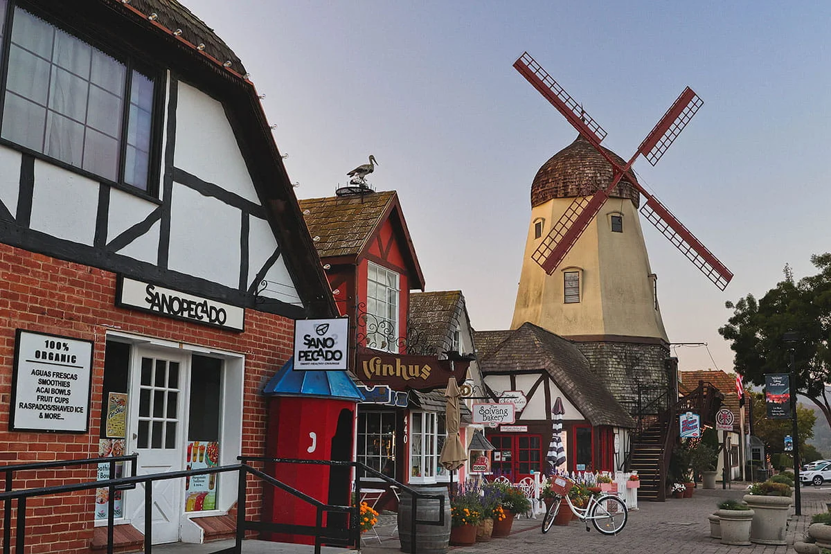
Mile 299 — Solvang. See the windmills — there are four in town — meet Lulu the Troll at the California Nature Museum, and stop by a Danish bakery. It’s touristy in the way that’s hard to dislike.
Mile 332 — Santa Barbara. Kitty time at Cat Therapy, a session at Salt Cave, books at The Book Den, a walk through the Santa Barbara Botanic Garden, and then the sunset at Stearns Wharf, which I’ve already mentioned because it earns it. For food: the elote salad at ‘Que, inside the Santa Barbara Public Market. For coffee, HandleBar Coffee Roasters is my favorite spot in the city, and Dune Coffee Roasters is a close second — at the Anacapa location you can watch the roasting setup while you drink. We stayed at the Canary Hotel; the corner room had a great balcony and was walking distance to pretty much everywhere we wanted to be.
Mile 427 — LA / Pasadena. I ended my last trip here — a play at A Noise Within Theatre, a stop at Vroman’s Bookstore, and dinner at Panda Inn, the original Panda Express.
Practical note: 101 joins Highway 1 at several points. If there are stops on both routes you want, a hybrid is completely doable and, for me, the best answer to this whole question.
Highway 99 — mountains and the giant trees
This is the one I take when I want to leave the coast entirely. You get mountain views and, near the end, a forest of giant trees. If you’re a fan of national parks, this is the route that lets you slip into Sequoia and Kings Canyon without it feeling like a separate trip.
Mile 0 — San Francisco.
Mile 186 — Fresno. A 53-mile detour to Kings Canyon National Park.
Mile 228 — Visalia. A 35-mile detour to Sequoia National Park. Visalia is the gateway to both parks, and it works as a proper end-of-day base — nice meals, decent places to stay, nothing you have to fight for.
Worth doing in Visalia: tour historic downtown, take a day trip to Sequoia Kings Canyon, follow the Taco Trail, and browse Linda’s Used Books — the selection is really good and there’s a super-friendly resident cat. If you’re driving through when a big match is on, Soccer City 1852 hosts watch parties.
Worth eating: the taco salad at Bravo Farms — farm-to-table, and the portions are genuinely large. The pizza at Bistro di Bufala. Coffee at Component Coffee Lab, which is the best you’re going to get near the park. El Tarasco and Velasco’s are both on the taco trail; the Governador at El Tarasco, the crispy chicken taco at Velasco’s. And the chicken sandwich at Elderwood, the rooftop brunch spot — it’s as good as it sounds.
Worth staying: Marriott Downtown Visalia. Walking distance to the heart of the city, which is exactly what you want after a day in the park.
Mile 418 — LA / Pasadena.
If you have more time than you think you do, add Yosemite to the trip. It’s a much longer detour, but it’s the kind of detour that ends up being the reason for the whole trip.
The route I actually take
Having driven all of this multiple times, my honest answer is a hybrid of 101 and 1 — when time isn’t a hard constraint. Big Sur is one of my favorite places in the world, and it’s gotten so crowded recently that I now treat it like a special-occasion stop rather than a default one. First time? Go. Already been? Take Monterey and Carmel, then 101 for the rest.
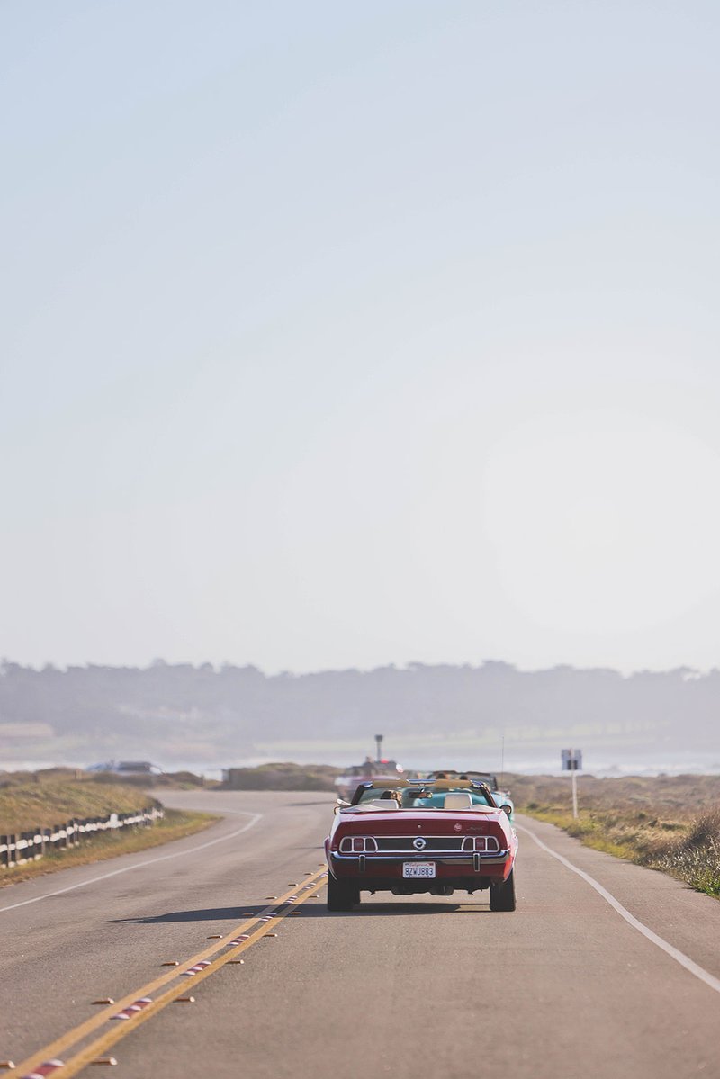
And one more thing, since I keep renting: I like getting a car with a bit of personality for a trip like this rather than a plain rental. A bright Jeep from Turo was waiting for us at the airport when we arrived, and we dropped it back in the parking deck before flying home. Small thing. But it made the whole drive feel like a trip instead of a commute.
The Golden Hour
The sun is low and warm over the harbor, the day’s noise has stopped, and the only decision left is which table to sit at. That’s the hour this whole route is for.
Frequently asked
How long is the drive, and which route is fastest? I-5 is the most direct and the one I use when I’m on a schedule. The three scenic routes above take longer — Highway 1 is the slowest of the three by a wide margin, which is the point if you have the time.
Should I drive northbound or southbound on Highway 1? Southbound, from San Francisco to Los Angeles. You stay on the side with the coastal views, and the pull-outs are easier to use for stops.
When is the best time of year? March through May, or fall. Summer mornings on the coast often sit under a marine layer that burns off by midday, and the wind can make the drive rough. Spring and fall are when the sky clears and the whole route is at its best.
A note from Luna: I still can’t decide which of these routes is my favorite, and I think that’s the answer. The right one is the one you take slowly. Pick the stops that make you pull over without planning to — that’s how you’ll know you took the right road.